|
| *****SWAAG_ID***** | 469 |
| Date Entered | 27/02/2012 |
| Updated on | 27/02/2012 |
| Recorded by | Tim Laurie |
| Category | Mining Related |
| Record Type | Mining |
| Site Access | Public Access Land |
| Record Date | 25/02/2012 |
| Location | Crackpot Moor |
| Civil Parish | Grinton |
| Brit. National Grid | SD 95894 96456 |
| Altitude | 476m |
| Geology | Cherts above the Main Limestone. |
| Record Name | Shafts on the Crackpot Vein below Blea Barf |
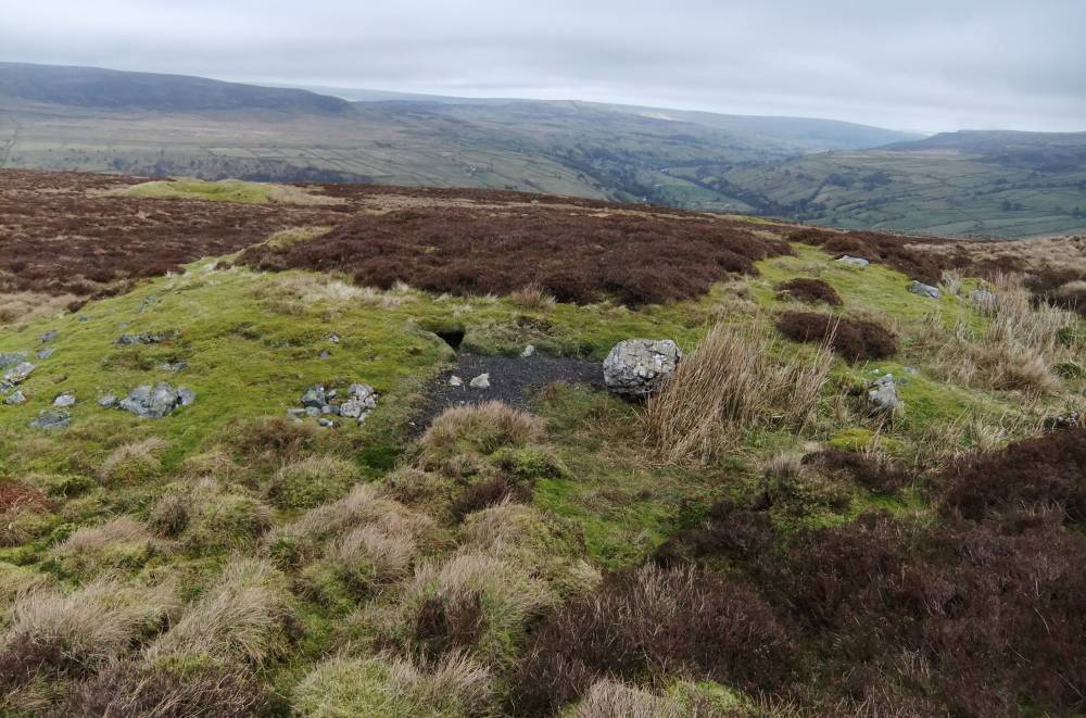
| Record Description | THese shafts are located on 'feebly mineralised (with galena and brown carbonate) but persistent fracture crossing below Blea Barf on Crackpot Moor ... this work was being done by J. Davies in 1818-23 when some 65 pieces (about five tonnes) of lead was produced.... production of a similar order continued as late as 1850.' Reference:Dunham K.C. and Wilson A.A., 1985. BGS Memoir: Geology of the North Pennine Orefield. Vol 2 Stainmore to Craven, pp169-170 and Figure 31. |
| Dimensions | See photgraphs |
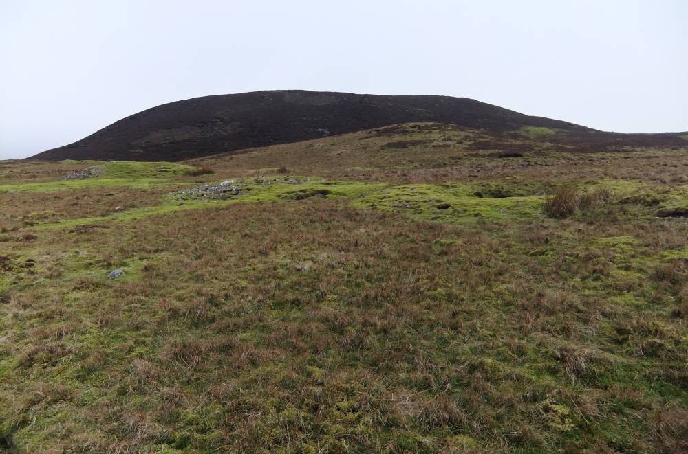
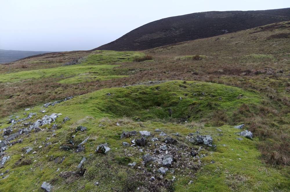
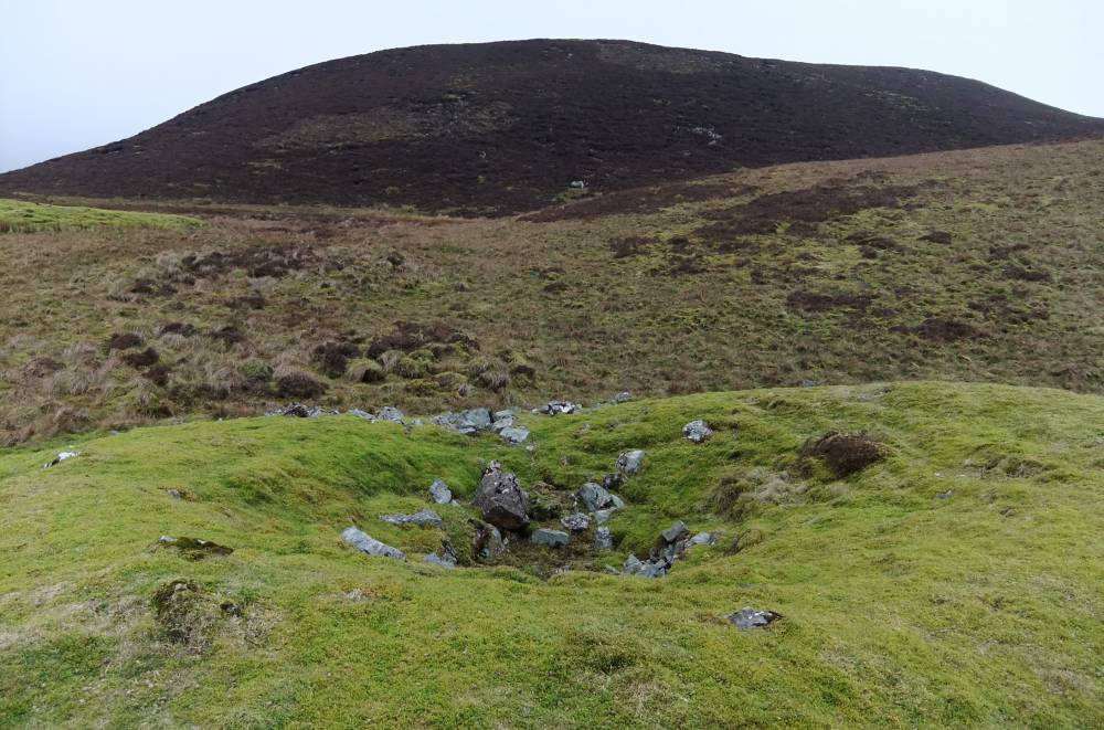
| Additional Notes | This mine is of great interest in the high, at 470m elevation, and lonely situation of the strings of shafts together with the levels on the slopes below Blea Barf on the southern edge of Swaledale.
The green turf covered limestone of the shaft mounds contrast greatly with the dark brown heather covered sandstone of Blea Barf Summit at 540m, see photographs. |
| Image 1 ID | 2332 Click image to enlarge |
| Image 1 Description | Crackpot Moor. Lead Mine Shaft Mounds below Blea Barf, north of Sun Gate. | 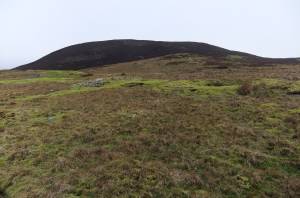 |
| Image 2 ID | 2330 Click image to enlarge |
| Image 2 Description | | 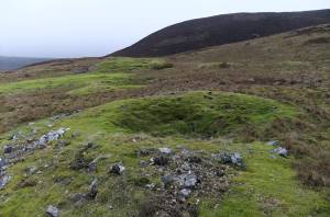 |
| Image 3 ID | 2331 Click image to enlarge |
| Image 3 Description | | 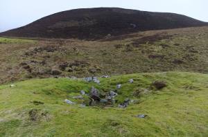 |
| Image 4 ID | 2333 Click image to enlarge |
| Image 4 Description | Shaft mounds and level on north facing slopes below Blea Barf | 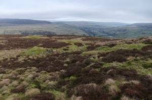 |
| Image 5 ID | 2334 Click image to enlarge |
| Image 5 Description | | 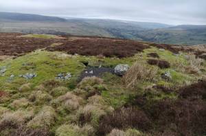 |
| Image 6 ID | 2335 Click image to enlarge |
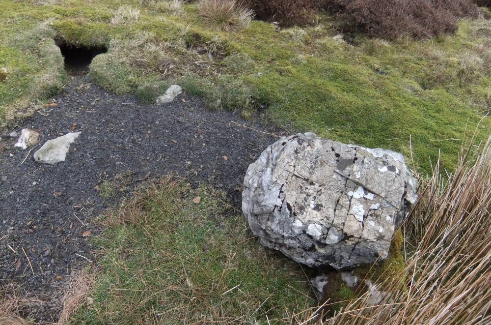
| Image 6 Description | Block of chert at base of shaft mound |  |
| Image 7 ID | 2336 Click image to enlarge |
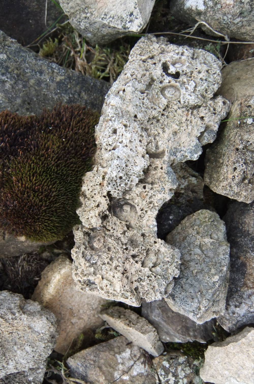
| Image 7 Description | Crinoids in cherty limestone |  |
| Image 8 ID | 2337 Click image to enlarge |
| Image 8 Description | Mossy saxifrage at bottom of shaft mound. | 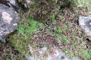 |